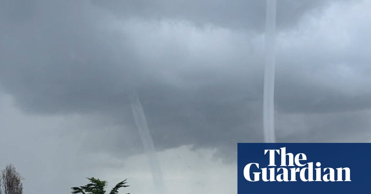
Two waterspouts were recorded in the San Francisco Bay area as storms battered the region, according to social media footage and the National Weather Service (NWS). The phenomenon is uncommon in the Bay area, federal storm data indicates.
The NWS confirmed the waterspouts in a special marine warning issued Monday. Waterspouts can be weak “fair weather” events or tornadic waterspouts that may pose risks to boaters and coastal areas if they move ashore.
Stormy weather is expected to continue for several days. The NWS forecast rain across the Bay area on Tuesday, with possible thunderstorms Wednesday and Thursday. A high wind advisory is in effect until early Wednesday, and a coastal flood advisory runs from early Wednesday until Thursday morning.
The two-day storm is expected to bring 1.5in to 3in of rain to most of the Bay area, with up to 4in in northern counties and 5in in the Santa Cruz mountains. Elevated tides are raising the risk of coastal flooding through at least Thursday. Gusts of up to 70mph (112 km/h) are forecast for the East Bay Hills.
Showers may ease after Thursday evening, though rain could linger over the Pacific and nearby inland communities. The storm is also expected to bring 4ft of snow to the Sierra Nevadas this week. The NWS warned that mountain travel may become impossible on Wednesday and Thursday.
California is facing a wetter-than-typical winter owing to the Super El Niño, with storms and flooding expected across the state.